Route Description
The Eaton's Way Route Description
Key :
Refreshments☕
Church ⛪ National Cycle Routes 6️⃣ / 5️⃣4️⃣
Left =L Right= R ⚪=Waymark as of 28/11/2025
*Ordanance Survey Landranger Maps #128 Nottingham and Loughborough and #129 Derby and Burton cover the route.🗺️
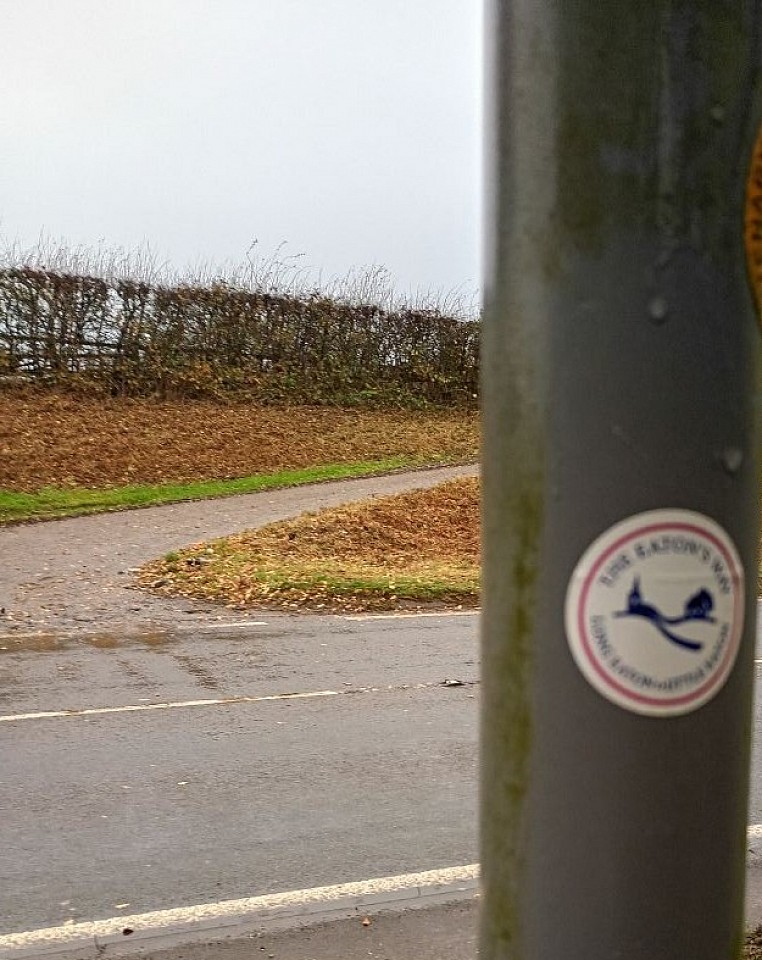
Starting at Long Eaton's "West Park Gates" Wilsthorpe Road (B6002). Cross Road with Care and turn R.
(Hedge with Allotments on L) Turn L at public footpath sign⚪ with the Golden Brook R and Allotments on the L. Follow until path splits. Turn R over wooden footbridge⚪ with M1 Motorway on your left. Follow path which curves R up to Road (Eaton Grange Drive). Turn L then L at Derby Road⚪ (A6005).
Go over M1 Motorway then Cross with Care just before Petrol Station/ Spa Shop ☕ on the R.
"You can follow National Cycle Route # 6️⃣blue signs between here and Hopwell Road as an extra guide."
Pass the Petrol Station R and Cycle Shop L then R into Poplar Road⚪ leading to Longmoor Lane, turn L follow to Risley Lane, turn R to the Navigation Inn Pub ☕then L onto Multi User Trail ⚪by the Pub. (Also Refreshments at the "Hidden Ivy☕on the opposite side of the road to the Pub )
Follow the Trail approx 1 mile passing under pipe carrying bridge ⚪ to Hopwell Road. (The Trail is part of the National Cycle Route #6️⃣).
At Hopwell Road cross over and turn R past Canal Cafe☕ and Cottages (Do Not continue on the Trail Cycle Route #6️⃣). Go pass Farm then turn L at public footpath sign ⚪and go over footbridge into the field.
Passing small wooded area R go over another wooden footbridge to the next field, go across joing Bridleways R.
Follow until metal gate ⚪ out to Nottingham Road (B5010).
Cross with care and turn R. You will need to cross again to stay on pavement going under A52 Road Bridge. After Bus Stop cross again and turn L into narrow lane⚪ (Signposted to Potato Pit Lane) with house on your R. Follow lane (being aware of occasional Car) heading up to Hopwell Hall visable ahead on hillside.
Before the Metal Gates to Hopwell Hall turn L onto Bridleways/ Footpath. ⚪Follow all the way around circling Hopwell Hall on R.
Take R through Metal Gate ⚪past Alpaca 🦙field on L. Join Track and turn L past Red Phone Box R (Farm behind you). Follow Track past Hedged Wood L. Continue past Pondside Barn R⚪ (Honesty Box Refreshments ☕ and historic Red Phone Box on the L) until you pass⚪ The Cowshed Cafe☕ entrance R.
At the Road (No Mans Lane) turn L on to Potato Pit Lane( Dale Abbey sign).⚪ Walk with care on road until you reach junction with Dale Road R.
Go through the footpath gate ⚪L. Follow R footpath to wooden gate⚪ into Hermitage Woods. (Option to visit The Hermitage Cave up steps on L) Follow footpath through woods keeping R .
At first fork keep R and then take L uphill (R goes to private residence.) until footpath T junction. Turn L through Metal Gates.⚪
(If you need refreshments turn R into Dale Abbey Village/Carpenters Arms ☕then retrace your steps, also option to visit Abbey Ruins.)
Follow footpath keeping R which eventually joins a Track⚪ turn L and continue with Farm entrance behind you.
After cattle grid take footpath straight on ⚪(Ignore Track R and Footpath L to Ockbrook.)
which brings you to Dale Road⚪. (Cross with Care busy road.) take footpath opposite then footpath R⚪ signed Stanley (House and Gates on your L). Continue through 2 fields. Turn R at end of field 2 then immediately L by small pond. Over stile ⚪on track L.
(If you need refreshments turn R to Stable View Cafe☕ then retrace your steps back).
Continue through metal gate ⚪turn L to wooden gate. After gate turn immediately R through small wooden gate.⚪ Go over field to stile in the hedgrow.
Down through field to metal gate ⚪with Bungalow L & Farm R then follow track to the Road (Derby Road).
Turn R into Stanley Village immediately after the White Hart Inn☕ turn L Morley Lane. Follow Morley Lane which deviates L⚪ and follow until it becomes a track by green metal seat. Continue on going over footbridge ⚪(Stanley Brook).
Continue and it becomes Church Lane tarmac road ⚪, follow to junction with Lime Lane. Turn R ⚪to Morley Church (St Matthews) ⛪entrance. Cross with Care to Signpost/ Stile.⚪
(Option to visit the Church before).
Follow footpath either through Paddock Gates R or around the Paddock L. Through Wooden Gate ⚪and past 2 yellow tipped posts. R continue to Style ⚪then Descend Steps ⚪to Main Road A608. Cross Road with Care to the Tarmac Drive opposite and follow up Metal Gates / Stile. ⚪ Follow Track to the next Stile on R and cross Footbridge. Continue past the Morley Mound (Ancient Earthwork) on the R, through Tree/ Holly Bush lined section and across the Field. Turn R⚪ onto Morley Almouses Lane,follow to the Junction with Moor Road.
Cross with Care to Metal Gate / Footpath. ⚪Follow Path (Golf Course on L) until Morley Lane ⚪(Cottages opposite). Cross with Care turn L. Turn R over Stile⚪ by 2nd Telegraph Pole.
Go over field (Farm on L) to stile over next field to stile.⚪
Turn L then R (Caution Golf Course both sides) straight ahead grass and tarmac path to Woodland ⚪. Take path L pass 2 small green domes on L follow to metal gate ⚪1 small green domes L. Follow until path joins track turn L.
To metal gates⚪ then passing Ornamental Gates and Red VR Post Box in wall on L.
Straight on going under A38 Road Bridge⚪ pass Building Suppliers L. At Farm and Brick Barn turn R⚪ down steps to Derby Road A6179.
Cross with Care to footpath ⚪go down steps ,over Trail (former Railway) then over Stone Bridge to Alfreton Road.⚪
Cross with Care turn L to Windy Lane follow to stile.⚪
Follow footpath passing Derelict Outbuildings on R and go through stone squeezer stile. Follow footpath with houses and gardens below on the L.
When footpath reaches Vicerage Lane turn L ⚪
The Lane turns L with houses on R. Continue passing St Paul's Church ⛪on the L.
Turn R into Station Road ⚪then L into Duffield Road passing the New Inn Pub☕ on the L.
At Junction with Alfreton Road B6179 turn R onto path (Cycle Route #5️⃣4️⃣) ⚪ and a short walk to the "Canal Wharf Memorial" (End of The Eaton's Way) on the R.
A short walk straight on the Starbucks Coffee ☕at A38 Junction.
